


Overview
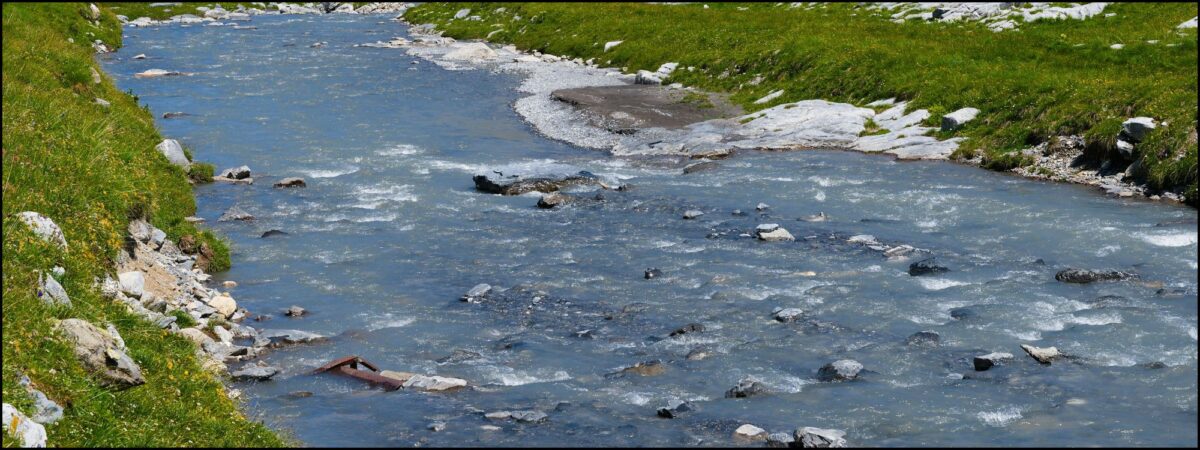
A watershed is like a bowl in the Earth. The topography (hills and valleys) of a region create a series of high points which water flows away from, and a series of low points which water flows toward. When water falls from the clouds it becomes part of our topography here on Earth in the form of things like rivers and lakes. Sometimes water falls in an area and the topography underneath it dictates how much water is “caught” by each region during rains.
Introduction
This activity allows youth to create their own topography and see its effects on a watershed. Then it allows youth to explore what happens when those watersheds are contaminated.
Grade Level
K-5, 6-8
Learning Objectives
Students will be able to describe what a watershed is, and discuss the effects of topography and pollution on a watershed.
Lesson Format
This activity can be done indoors!
Time Required
1-2 hours
Credits & Contact Info
Trisha Smrecak and Caroline Boyajian
Paleontological Research Institution, 1259 Trumansburg Rd., Ithaca NY 14850
climate@priweb.org
Instructions & Materials
Materials
- Parchment paper (without wax) or thick paper like that in a paper bag
- Spray bottles
- Flour
- Confetti
- Chocolate syrup
- Cocoa powder
- Crayons
- Black and blue markers
Instructions
- Break into groups of 2-4.
- Give each group a very large piece of parchment paper (2-3 feet in length is ideal), thick markers, crayons, cocoa powder, chocolate syrup, flour, and confetti.
- Tell each group that they have inherited a large parcel of land that they can develop in any way they see fit to create a city, a rural community, a forest preserve, or a combination of each. You may wish to assign groups distinct landscape types (i.e. one group should make an industrial landscape, another forested, etc.) to promote fair comparisons of land use at the end of the activity.
- Using crayons, have youth divide the paper into 9-12 equal squares (use discretion based on size of parchment paper) and draw a landscape in crayon on their paper that includes at least one representative each of forested land, a farm, a house, and an industrial building, where each square is colored in a specific color to represent land use. The amount of space each type of landscape takes up on the paper is up to them, as long as all are represented.
- Tell youth to draw a road, in crayon, connecting the squares of different colors together. It can be as short or as long as desired.
- Explain that the road represents highways traveled by numerous cars, the house represents cities, the farm represents agriculture, and the industrial building represents industry.
- Ball up the paper as a group and then straighten it out a bit. Encourage youth to have areas of high topography and low topography. Note, the activity only works with significant topography, therefore at least one spot on the paper should be about 6 inches higher than another.
- Outline the high points on their topography in black. This outlines the different watersheds on their land. Ask the students how they would define a watershed based on this activity.
- After outlining the watersheds, use the blue marker to draw where they think water would travel if it were poured on the high points of the land, reminding them that water takes the easiest, quickest path down. Color in ponds and lakes in these areas with the blue marker.
- Explain that using land for farms loosens the soil. Represent this by sprinkling cocoa powder on all of the squares on the farmland.
- Explain that roads are often dirtied by gasoline and oil from cars. They are to represent this on their land by placing chocolate syrup (oil spills) on the roads.
- Explain that both industries and cities create pollution by creating trash, contaminating rivers, and through other means. Represent this by sprinkling flour down on land used for industry, and confetti on land used for cities.
- Represent a thunderstorm. Have each group use the spray bottle to spray water on their land, being sure that each youth gets a turn. Encourage them to describe what is happening to their land.
Discussion
Discuss the path that water takes. Where did water naturally flow? Can you find specific watersheds on your land? Discuss where snow might build up in the mountainous parts of the land and how areas would benefit from spring thaws. If only one portion of the landscape was sprayed how would that have affected the watershed? Explain that this would represent a rain shadow, and that mountains can trap rain clouds making one side of a mountain wet and lush, and the other side of the mountain desert-like. An example of that type of landscape can be seen on the west and east sides of the Rocky Mountains, with the west side receiving abundant rain and east sides receiving very little.
Land use affected the water. In the forested areas, water penetrates the land and is used by the trees, and the remainder spreads to streams and lakes without disturbing the sediments. Trees hold the dirt in place, without them the nearby stream and lake water get muddier. This hurts the water life, making it hard for those animals and plants to breathe. Industry and other human activity creates chemical pollution that eventually ends up in our streams and lakes. Our trash also contaminates our waterways.
Look at every group’s land. Who had the cleanest waterway? Who had the dirtiest? What actions can we take in our lives to help keep our water clean and usable?
Extensions
CoCoRaHS Extension Ideas:
In the Himalayas, for instance, the monsoonal rains are brought into the mountains by the ocean. When the rain falls, the topography of the mountains sends water running down the ocean-side of the mountains but prevents the opposite side of the mountains from receiving any water. Thus, the opposite side of the mountain has a desert. This is an extreme example of how topography can shape the climate in an area. On a map of the United States, find some other areas with a climate affected by watersheds in some way.